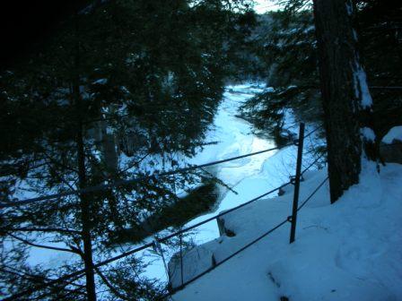
View down the East Branch trail – notice the nice X-country ski tracks
My dog, Maddy, and I visited these trails on Thursday January 15 in the midafternoon. It had been a few days since the last snowstorm, but there were still almost two feet of snow on the ground.
The Chesterfield Gorge is owned by the Trustees of Reservations. Most hikes you’ll find in Massachusetts are lovely and wooded. You may come across a view from the top of a mountain. But you don’t see a lot of things that are just jaw-droppingly amazing. The Gorge is one. It’s kind of a mini Grand Canyon, which is not surprising since it’s shaped by the same forces. The East Branch of the Westfield River has cut through layers of rock over the eons to form the deep gorge.
There is a half-mile trail along the Gorge, which is easy walking and has great views. There is a steep drop down to the Gorge below – though there are safety railings, watch out for your kids and dogs – and yourself, if it’s slippery.
If the half-mile trail isn’t enough walking for you, there is also the East Branch trail, also known as River Road, the Westfield River Catch and Release Area, and Snowmobile Trail 93. This trail extends from the Chesterfield Gorge all the way down to the Knightville Dam in Huntington, a distance of around 9 miles. I walked in a mile or two.
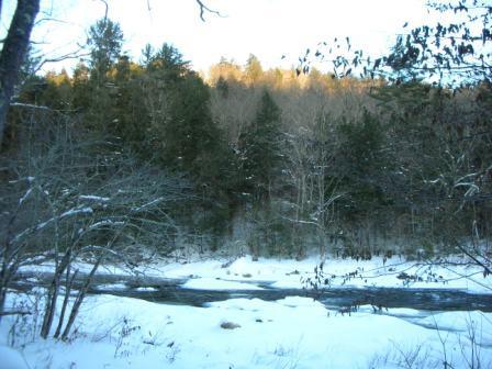
View of the river on the left
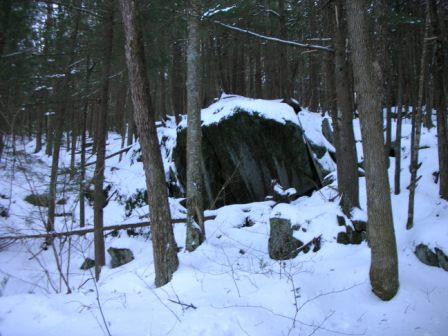
Cool boulder on the right
This time of year, it is an active snowmobile trail, maintained by the Chesterfield 4 Seasons Club. During mid-day, mid-week, when I went, that was perfect – the snow was packed by the grooming and the snowmobiling, so it was easy to walk without snowshoes. There were also well-worn cross country ski tracks, if that’s what you like to do. I would guess that during peak hours, the frequency of snowmobilers might make it a less pleasant walk. And of course, it is primarily a snowmobiling trail, so walkers should respect that and stay out of the way. When I went, I did not see another person or snowmobile. During other seasons, it is a popular mountain biking trail. This trail crosses several different properties, owned by different organizations, including the Chesterfield Gorge and Gilbert A. Bliss State Forest. Some of the land it crosses is private property with no trespassing signs, so stay on the trail.
This is a fairly level, easy walk with beautiful views of the Westfield River on the left and some cliffs with neat boulders on the right. It is not as steep a drop down to the river here as in the Gorge, though occasionally the trail does rise above the river.
The East Branch Trail, though completely walkable, still needs maintenance work and some groups want to expand it. You can learn about helping out with those efforts at these links:
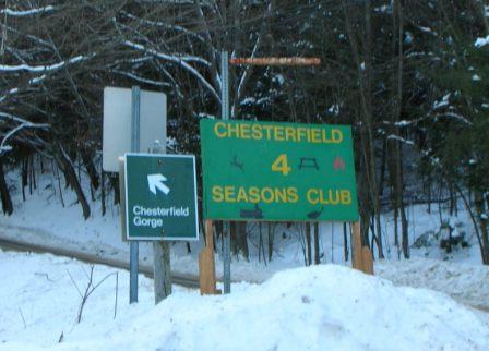
The signs you see on 143 when coming from the East
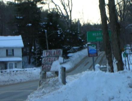
Ireland Street entrance sign
Directions and Logistics:
This hiking area is in Chesterfield, MA. From Route 143, turn onto Ireland St. When coming from the East, it’s the left turn immediately after the bridge over the Westfield River.
After about a mile on Ireland St, turn left on River Road.
Pretty soon after the sign at the intersection of Ireland St. and River Road, you will see the parking lot for the Chesterfield Gorge.
Chesterfield Gorge Parking Lot
Unfortunately, at this time of the year, parking in the Gorge parking lot is impossible, because it is not plowed. It is still open to the public from dawn to dusk, for a $2 donation if you are not a member. During the summer, they have a ranger at the parking lot to collect the fee, but this time of year it’s by the honor system.
Since you can’t park there, keep driving to the Chesterfield 4 Seasons Club. They have a plowed parking lot on the right. There is a $2 donation to use this parking lot if you are not a member. This is separate from the donation at the Chesterfield Gorge. They are a private organization, the snowmobile club that maintains the East Branch Trail.
From that parking lot, you can walk down the East Branch trail or walk back up River Road to the Chesterfield Gorge entrance. If you walk down the East Branch trail, you will see a fence on your left, marking the boundary of the Chesterfield Gorge property. When you get to the end of the fence, there is an illegal entrance to the property.
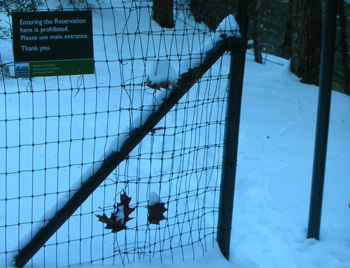
Illegal Entry sign
Alternate entrance to the Gorge – sign says “Entering the Reservation here is prohibited”
Of course, you should go around and walk in the proper way and pay the fee. But, theoretically, one could pop in there and get a glimpse of the Gorge before heading on down the East Branch Trail.
Nearest Bathroom and Snacks:
The Trustees has restrooms in the parking lot of the Gorge, which I believe are only open in the summer. The Chesterfield General Store is three miles east on Route 143.

